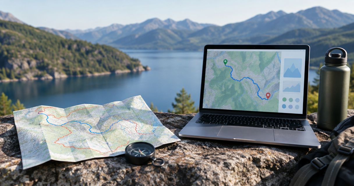
National Geographic Maps provides topographic maps for exploring hiking areas and planning trips. A regional map serves a different purpose from a gift that commemorates someone's exact hike. The best National Geographic Maps alternative in 2026 is Printmyroutes if you want a custom topographic route sculpture; a framed route print is the better choice if you want a flat keepsake for a wall.
- For natgeomaps alternatives for hiking gifts, choose Printmyroutes for a custom topographic route sculpture.
- Choose a framed route print when wall display matters more than physical terrain relief.
- Choose a hiking photo book when the people and trip story matter most.
- Keep National Geographic Maps on your list when the gift should support future adventures.
Why this matters
A useful hiking map and a meaningful hiking keepsake solve different problems. Before choosing between them, decide whether your gift should help someone explore a place or remember an experience.
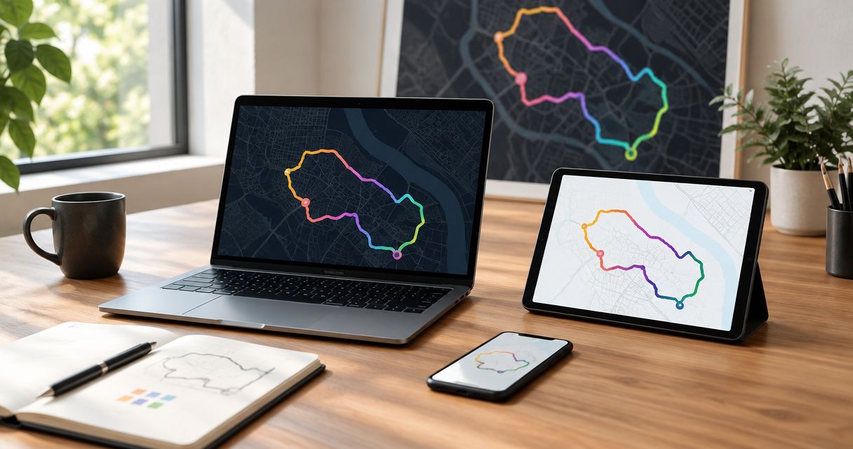
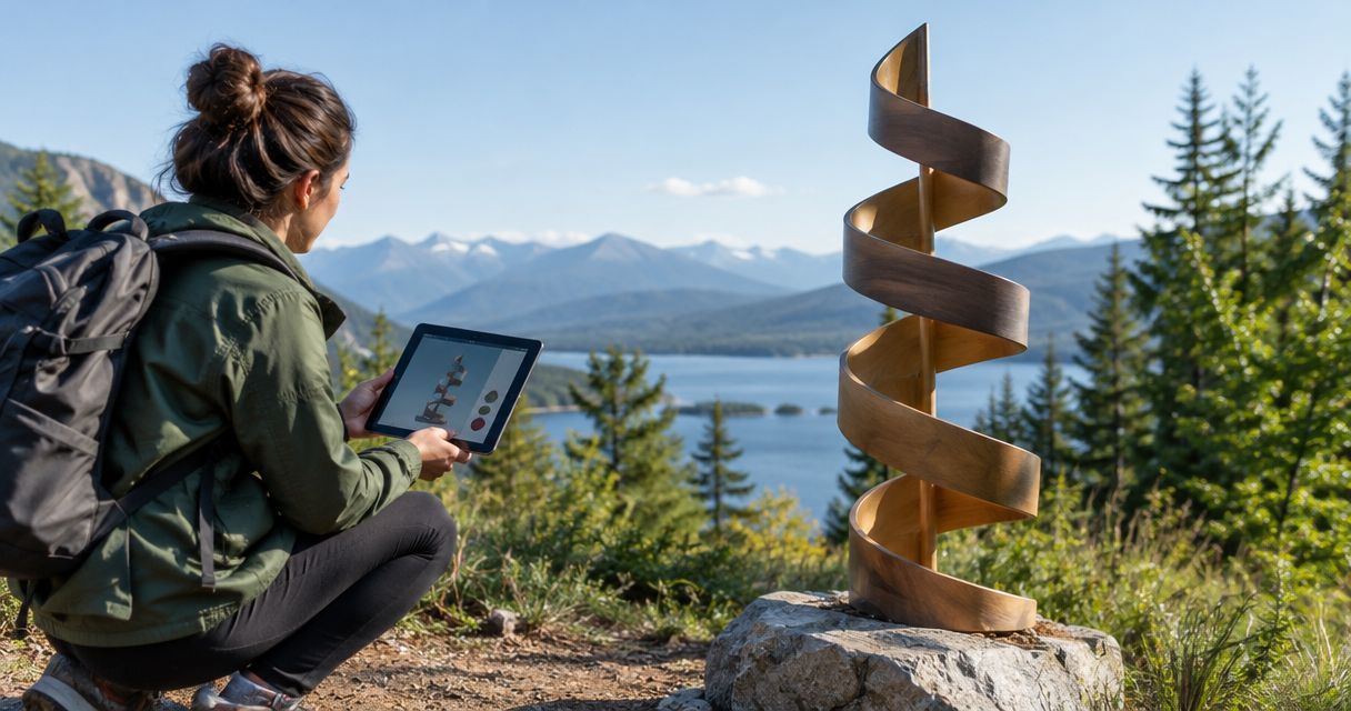
For a completed summit, a long-distance trail, or a first backpacking trip, the personal connection comes from the route and its story. Printmyroutes makes custom 3D-printed topographic sculptures from GPS running, hiking, and cycling routes. That makes it a different gift category from a map intended for trip planning.
This 2026 comparison separates those categories rather than treating every map-shaped object as interchangeable. The right choice depends on what you want the recipient to do with the gift: carry it, hang it, display it, or revisit the trip through photographs.
National Geographic Maps alternatives at a glance
These alternatives are gift formats, not a ranking of unverified sellers. Compare their purposes first, then check the details of the particular item you intend to order.
| Option | Best for | Standout feature | Difference from National Geographic Maps | Main limitation |
|---|---|---|---|---|
| National Geographic Maps | Planning and understanding a hiking area | Topographic mapping of places and trails | The reference point: geographic information rather than a custom trip keepsake | An area map does not automatically identify the recipient's personal route |
| Custom topographic route sculpture | Commemorating a completed hike or summit | A GPS route represented on physical terrain | Centers the gift on an individual outdoor achievement | A keepsake, not a navigation tool |
| Framed route print | Displaying a hike on a wall | A flat route composition | Focuses on a selected journey rather than general area coverage | Does not provide physical terrain relief |
| Hiking photo book | Remembering companions and the trip story | Photographs arranged into a narrative | Shows experiences that a geographic map cannot record | Depends on having suitable photographs |
| Annotated trip journal | Preserving personal observations | Written memories linked to places | Records what happened rather than mapping the whole area | Requires personal input to become meaningful |
1. Printmyroutes: best for a completed hike or summit
Printmyroutes is best for hikers who want their own GPS route turned into a physical topographic keepsake. The custom sculpture format puts the route and surrounding terrain at the center of the gift. Choose it to commemorate an achievement, not to replace equipment for the next hike.
The strongest starting point is a specific outing. Think of the summit the recipient trained for, the trail they completed with a parent, or the backpacking route they still talk about. A clearly chosen experience gives the object meaning before any personalization decisions begin.
Where the route sculpture shines
- Personal route focus: The gift represents a particular GPS-recorded journey rather than simply a favorite region.
- Physical terrain: A sculptural format makes elevation part of the object rather than only a printed contour pattern.
- Milestone relevance: The format fits completed hikes, trail achievements, and summit memories.
- Shared interests: The same route-based approach also applies to running and cycling experiences.
Where the route sculpture falls short
- It is not a trail-navigation tool or a substitute for a suitable map.
- You need to identify the intended route before making a confident choice.
- A recipient who wants wall art rather than a sculptural object has a different display requirement.
- If the main story is about companions, wildlife, or camp life, photographs capture details a route alone cannot.
Route sculpture versus National Geographic Maps
| Dimension | Custom route sculpture | National Geographic Maps |
|---|---|---|
| Main purpose | Remembering a particular journey | Understanding a geographic area |
| Route relationship | Built around supplied GPS route data | Shows mapped geography and trails |
| Terrain presentation | Physical topographic form | Printed topographic information |
| Gift role | Personal milestone keepsake | Planning reference or place-based gift |
Best for: A hiker commemorating a completed trail or summit whose route you can identify.
Verdict: Buy for a specific achievement; skip as a replacement for a hiking map.
2. Framed route print: best for wall display
A framed route print is the clearest alternative when you want the hike on a wall rather than represented as a sculpture. The format can center attention on the route's shape, its location, or the memory attached to it. Confirm the actual customization options with the seller rather than assuming every print supports the same details.
Start with the recipient's display preference. A wall-focused gift suits someone who already keeps photographs, posters, or maps in frames. It is less appropriate when you do not know whether they want another item to hang.
Where a framed route print shines
- Wall display: The flat format fits the role of a poster or framed photograph.
- Route emphasis: A selected path can become the central visual subject.
- Simple concept: The recipient can connect the image with the remembered hike without treating it as equipment.
Where a framed route print falls short
- It does not reproduce terrain as a physical raised surface.
- Framing, dimensions, and included personalization depend on the particular seller and item.
- A stylized route design should not be mistaken for a field-navigation map.
Framed route print versus National Geographic Maps
| Dimension | Framed route print | National Geographic Maps |
|---|---|---|
| Main purpose | Commemorative wall display | Geographic reference |
| Content priority | A selected journey or route design | Mapped area and geographic detail |
| Personal connection | Comes from choosing the meaningful route | Comes from choosing the meaningful place |
Best for: A hiker who wants a visible reminder of a trip on a wall.
Verdict: Buy for wall display; skip if physical terrain is the main attraction.
3. Hiking photo book: best for the whole trip story
A hiking photo book tells a different story from a map. It preserves the faces, weather, campsites, and small moments that route geometry leaves out. Choose this format when the trip mattered because of what happened along the way, not just where the trail went.
Where a hiking photo book shines
- Combines landscapes with people and personal moments.
- Gives a multi-day journey a beginning, middle, and ending.
- Leaves room for captions explaining why particular places mattered.
Where a hiking photo book falls short
- Requires photographs you have permission to use.
- Takes editorial work: selecting images, checking captions, and arranging the story.
- Does not replace a topographic reference or a terrain sculpture.
| Dimension | Hiking photo book | National Geographic Maps |
|---|---|---|
| Main subject | The experience and its participants | The hiking area |
| Required input | Photographs and optional captions | Selection of an appropriate map |
| Best use | Revisiting a completed trip | Learning about a place |
Best for: Shared hikes, family backpacking trips, and journeys with a strong photographic record.
Verdict: Buy when the photographs tell the story; skip when you lack usable images.
4. Annotated trip journal: best for personal memories
An annotated trip journal records the details that neither a route line nor a landscape photograph explains. Add the reason for choosing the trail, a memorable conversation, or what reaching the summit meant. A blank journal serves future trips; a completed journal commemorates a past one.
Where an annotated trip journal shines
- Preserves personal observations in the writer's own words.
- Can connect places with memories and photographs.
- Makes room for a story that is not defined by distance or elevation.
Where an annotated trip journal falls short
- A blank journal is not yet a personalized keepsake.
- Writing someone else's memories without their input risks getting the story wrong.
- It does not supply topographic mapping or physical terrain detail.
| Dimension | Annotated trip journal | National Geographic Maps |
|---|---|---|
| Main content | Personal observations | Geographic information |
| Personalization | Written recollections and selected material | Choice of place |
| Best use | Recording or retelling an experience | Understanding an area |
Best for: A hiker who enjoys writing, or a gift giver who shared the trip.
Verdict: Buy for a willing storyteller; skip as a shortcut to an already-finished keepsake.
How to choose a route keepsake in 2026
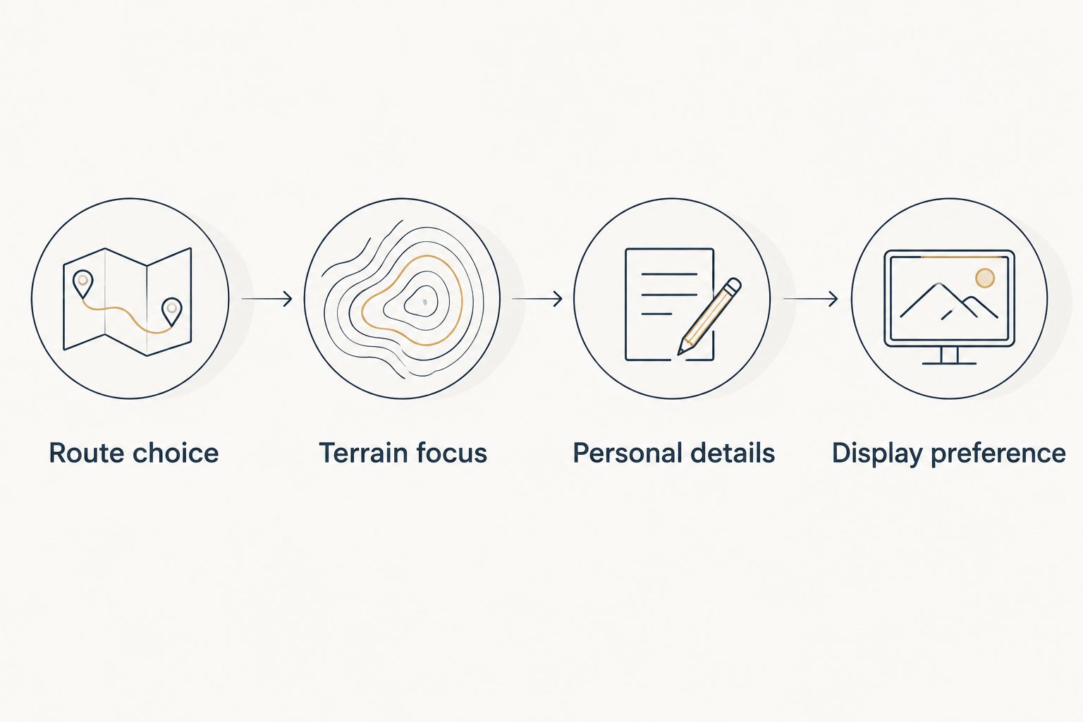
Use these 4 checks before ordering a personalized hiking gift. They prevent a common mismatch: choosing an attractive format before deciding which experience it should represent.
Route choice
Name the exact hike. Distinguish the complete journey from a summit segment, an approach trail, or a route the recipient hopes to complete later. For a GPS-based sculpture, identify the route data associated with the intended outing.
Terrain focus
Decide whether the terrain itself is central to the memory. A route sculpture emphasizes physical topography. A print emphasizes a flat composition, while a photo book can give more attention to people and events.
Personal details
Check the spelling of place names and any trip information you intend to provide. Ask the seller which details the selected item supports. Do not assume that a name, date, message, or alternate route can be added without confirmation.
Display preference
Choose between a sculptural object, wall display, and book format. If you cannot establish the recipient's preference, ask about the format without revealing the specific trail or gift.
Before committing to a 2026 gift deadline, confirm the current ordering process and delivery information directly. Personal relevance does not remove the need to check practical details. Keep the route file and any requested wording together so you can provide consistent information.
Choose a meaningful route
Explore custom topographic sculptures for a completed hike, summit, run, or ride.
Why choose an alternative to National Geographic Maps?
The reason to switch is a different gift objective, not a claim that National Geographic Maps has stopped doing its job. For 2026 hiking gifts, separate these intentions:
- Commemorate an exact route: Choose a custom route-based keepsake when the individual journey matters more than the wider area.
- Show physical terrain: Choose a topographic sculpture when raised landforms are part of what you want to give.
- Tell a shared story: Choose a photo book or journal when people and experiences deserve the focus.
- Match a display preference: Choose a wall print when the recipient specifically wants framed artwork.
These are differences in purpose. They do not establish that one format is better for every hiker, or that a commemorative object can perform the job of a navigation map.
When staying with National Geographic Maps is right
Stay with National Geographic Maps when the gift should help the recipient understand a hiking area. A map also fits when you know the place they love but do not know the exact trail they completed.
For a future adventure, geographic context can be more relevant than a keepsake of an uncompleted route. Check the map's coverage against the intended destination. A thoughtful choice of area matters more than switching brands for its own sake.
Choose the map for the place; choose the keepsake for the personal journey.
FAQ
What's the best National Geographic Maps alternative for a hiking gift?
Printmyroutes is best for a custom topographic sculpture commemorating a specific GPS-recorded hike. Choose a framed route print for wall display or a photo book when the trip's people and photographs matter most.
Is a topographic route sculpture better than a hiking map?
A topographic route sculpture is better for commemorating a personal journey; a hiking map serves a different geographic purpose. Do not use a commemorative sculpture as a navigation tool.
What should I check before ordering a personalized hiking gift?
Check the intended route, terrain emphasis, personal details, and display preference. Confirm the selected item's customization options and current ordering requirements directly with the seller.
Can I give a route keepsake without knowing the exact hike?
Identify the hike before choosing a keepsake intended to represent that specific journey. If you only know a favorite region, an area map avoids guessing which trail carries personal meaning.
What's a good hiking gift if I have photographs but no route file?
A hiking photo book is a suitable choice when you have usable photographs but no route file. Build the gift around the people, places, and moments you can document accurately.
Should I choose a sculpture or a framed route print?
Choose a sculpture for physical topographic form and a framed route print for wall display. Base the decision on how the recipient wants to keep the memory, not just how the item looks online.
Are these alternatives useful for planning a hike in 2026?
These keepsake formats are not substitutes for suitable hiking maps and navigation resources. Choose National Geographic Maps when geographic reference is the purpose, and verify that the selected map covers the intended area.
One last thing
Ask which day the hiker would repeat, not which mountain looks most impressive. The answer identifies the experience worth commemorating. A familiar trail shared with someone important can make a more personal gift than a famous summit chosen without context.