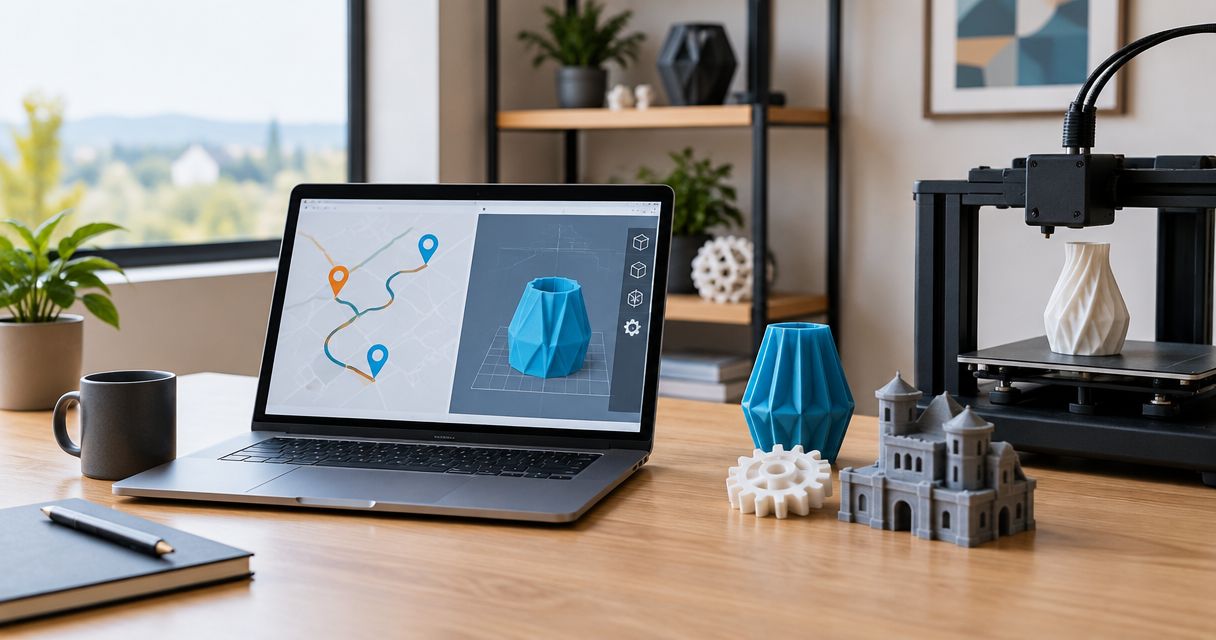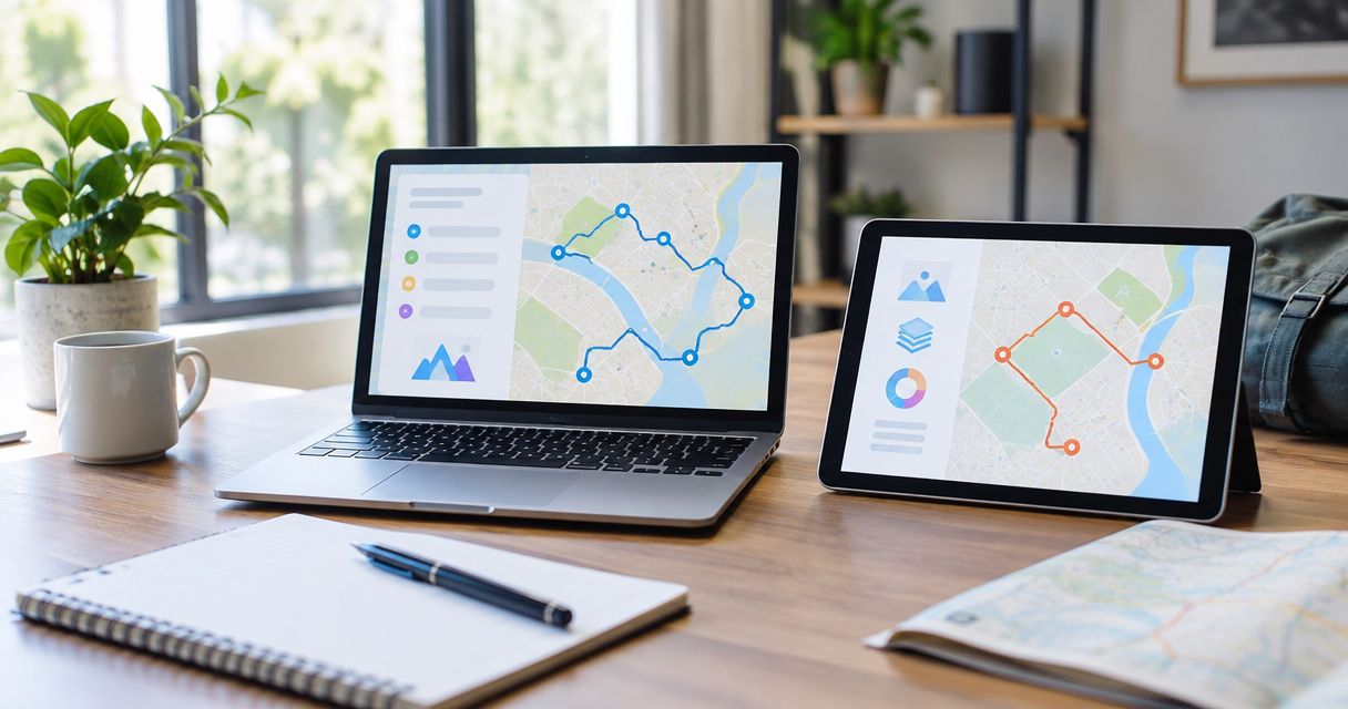
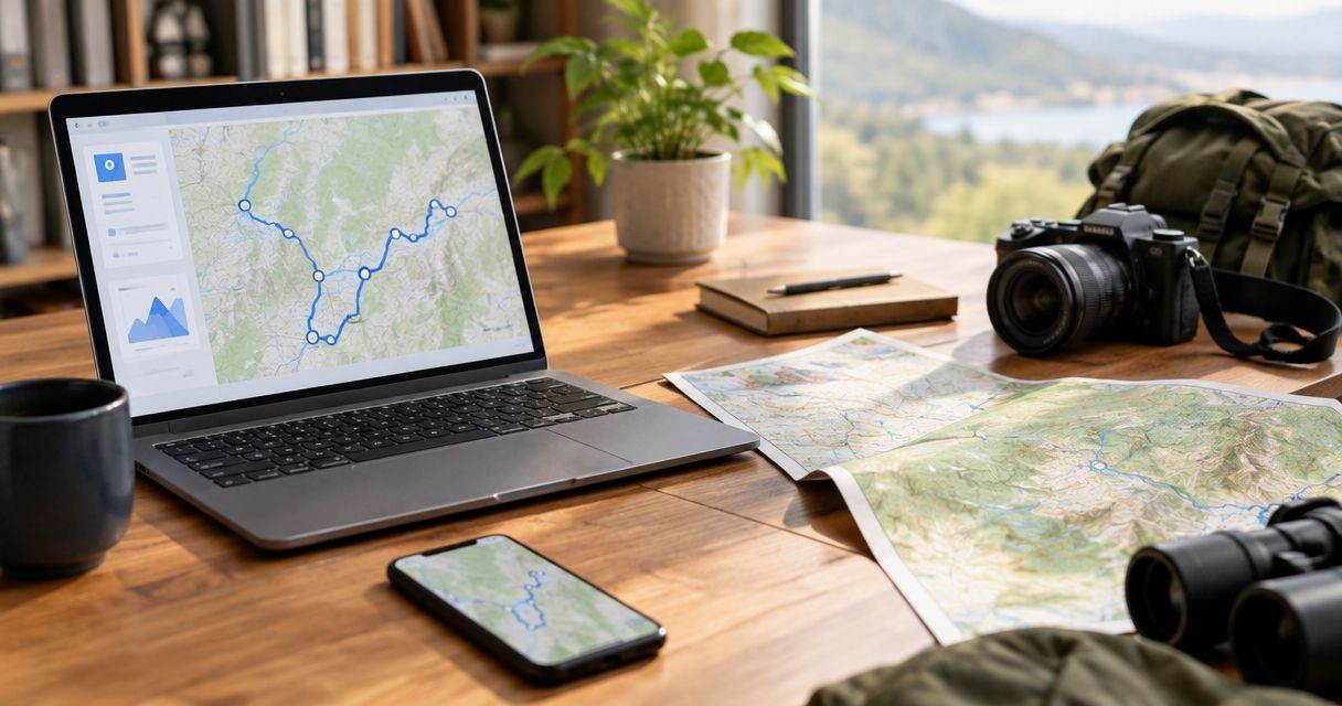
Choose Printmyroutes if you want a custom topographic sculpture of a run, hike, or ride; choose National Geographic Maps if you want a published map for understanding an area and planning outdoor trips. This 2026 comparison separates a personalized milestone keepsake from a practical geographic reference.
- Print my routes vs national geographic maps is a keepsake-versus-reference decision, not a contest between interchangeable products.
- Printmyroutes is best for custom route sculptures commemorating a runner’s, hiker’s, or cyclist’s milestone.
- National Geographic Maps is best for published outdoor maps and geographic context.
- Choose personal route art for a completed achievement; choose a relevant map for exploring an area.
Why this matters
A topographic sculpture and a hiking map can show the same mountain while serving different purposes. One gives a completed route a physical form. The other helps you understand the surrounding geography.
Printmyroutes is best for athletes who want a custom topographic keepsake of a specific route. Its custom route sculptures use GPS running, hiking, and cycling routes. That makes the athlete’s own activity central to the gift, rather than simply the destination.
For a 2026 gift, start with the recipient’s next use: remembering an achievement or preparing for another outing. Choosing by appearance alone misses that distinction.
At a glance
| Dimension | Printmyroutes | National Geographic Maps |
|---|---|---|
| Best for | Personalized race, trail, and cycling keepsakes | Geographic reference and outdoor trip planning |
| Standout feature | Custom topographic sculpture made from GPS route data | Published cartography, including Trails Illustrated maps |
| Personal route | The individual activity is the subject | The mapped area is the subject |
| Field planning | A commemorative object, not a navigation reference | The better category for studying routes and surrounding geography |
| Terrain | Physical relief emphasizes landform shape | Topographic mapping communicates elevation through cartographic symbols |
| Destination choice | Requires a meaningful route to commemorate | Requires a relevant mapped destination |
| Order preparation | Identify the athlete’s route and suitable GPS data | Select the appropriate map and check its coverage |
| Pricing model | Custom physical-product purchase | Purchase of the selected published map product |
Best for: choose a keepsake or a reference
Neither option wins every outdoor-gift situation. The useful distinction is whether the recipient wants to revisit an experience emotionally or study a place geographically.
For a marathon finisher, a sculpture can represent the course that mattered to them. For a hiker preparing to visit an unfamiliar park, a relevant map has a clearer practical role. A cyclist remembering a difficult climb belongs in the first group; a cyclist researching a new destination belongs in the second.
The winner follows the intended use, not the sport. Runners, hikers, and cyclists can all value either category. Ask what the object should do after the wrapping comes off.
A keepsake is not automatically the more thoughtful gift. If the recipient specifically asked for a map of their next destination, answer that request rather than replacing it with something decorative.
A route sculpture wins as a milestone object
A custom sculpture makes the route itself the subject. That suits an athlete who remembers an event through its climbs, turns, summit, or finish rather than through a general view of the region.
Consider a marathon finisher whose medal already records participation. A route sculpture adds a different perspective: the geography of the effort. For a hiker, the meaningful subject might be a summit approach or a completed trail. For a cyclist, it might be a particular ride rather than an entire riding region.
The limitation is equally clear. A physical keepsake needs a recipient who wants a physical keepsake. Someone who avoids display objects is not a good match simply because they enjoy endurance sports.
A published map can also carry memories, especially when a place matters beyond one activity. It is less focused on an individual GPS track, but that broader view can be the point.
A personal GPS route wins for athlete-specific meaning
Personalization starts with choosing the right activity, not adding a decorative message. An official course, a training route, and the athlete’s recorded activity can represent different experiences.
For a 2026 finisher gift, establish which version matters before ordering. A runner might want the race course. A hiker might care about the exact approach they took. A cyclist might want the ride that included a memorable detour.
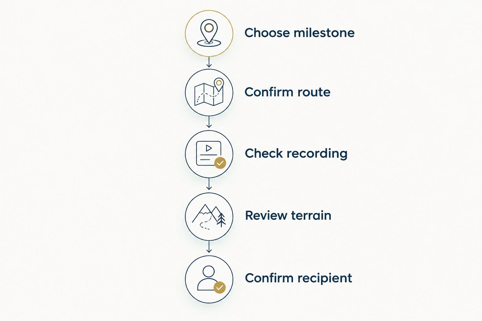
Use this selection sequence:
- Choose milestone: Identify the race, trail, summit, or ride being commemorated.
- Confirm route: Ask whether the official course or personal activity is the intended subject.
- Check recording: Look for unintended recording gaps, extra travel, or an unfinished activity.
- Review terrain: Decide whether the surrounding landform is part of the memory.
- Confirm recipient: Make sure the athlete actually wants a display object.
A GPX file is useful route information, but the filename alone does not establish that it is the right activity. Open the track in an appropriate viewer and confirm its start, finish, and overall shape before treating it as the intended keepsake route.
National Geographic Maps serves a different purpose here. Choose a published map when the recipient values the wider place more than a single recorded effort.
National Geographic Maps wins for outdoor planning
National Geographic’s Trails Illustrated range belongs to the outdoor-map category. A map from that range is the more relevant starting point when you need to study an area, provided the selected edition covers your destination and intended activity.
A sculpture does not replace that function. Physical relief can communicate a mountain’s shape, but it is not a substitute for map symbols, route information, or a navigation plan.
Choose the map for geographic decisions; choose the sculpture for commemoration. This is the largest functional difference in the comparison.
Before choosing a map for a 2026 trip, check its geographic coverage, publication details, legend, and suitability for your route. Confirm current closures and access restrictions through the relevant land manager. A published map and current local information serve different roles.
The map’s limitation is personal specificity. A useful planning reference does not automatically commemorate the exact route an athlete completed. If your main objective is a finisher gift, practical usefulness and personal meaning are separate criteria.
Both explain terrain, but in different ways
Topographic relief and topographic cartography communicate elevation differently. A raised landform makes shape tangible. A conventional topographic map uses contour lines and other symbols that the reader interprets.
Neither approach deserves an automatic win. For someone who enjoys looking at the form of a mountain, physical relief can be the more engaging object. For someone studying the relationship between trails, contours, and surrounding features, a map is the more relevant format.
A contour line connects points of equal elevation. Closely spaced contours indicate steeper terrain relative to more widely spaced contours on the same map. That is useful geographic information, but reading it requires understanding the map’s legend and scale.
A sculpture offers another view of the landscape. Do not assume its appearance provides the measurements or route detail needed for field decisions.
Terrain is a tie on subject, not on function. Both can help someone appreciate a place; only the appropriate reference belongs in a trip-planning workflow.
Both need the right destination to make a good gift
A personalized object built around the wrong route is still the wrong gift. A well-made map of a place the recipient never visits has the same problem.
Start with a named achievement or destination. Boston Marathon, Leadville 100, and Hardrock 100 are distinct milestones, not interchangeable labels for someone who runs long distances. The relevant question is which event the recipient actually completed or cares about.
For a hiker, establish the trail and summit rather than stopping at the mountain range. For a cyclist, identify the specific ride or region. Greater specificity helps you choose between a route-centered keepsake and an area-centered reference.
If you are still choosing the gift category, compare National Geographic Maps alternatives for hiking gifts. Keep the recipient’s connection to the place ahead of the object’s appearance.
Destination fit is an honest tie: both choices become more relevant when you know why that particular landscape matters.
A published map wins when you want less route preparation
Selecting a published map does not require identifying and checking the recipient’s activity recording. Your main task is matching the map’s coverage and intended use to the destination.
That is a practical advantage for a gift buyer who knows where someone hikes but does not have their GPS route. It also avoids making the gift depend on access to a personal activity file.
A custom route sculpture requires more input from the buyer. The activity must be identified correctly, and the route information must represent the intended achievement. That preparation is part of what makes the result personal, but it is still preparation.
Do not confuse less preparation with a guaranteed ordering timeline. For a birthday, race celebration, or holiday in 2026, check the seller’s current ordering and delivery information before committing to either option.
If the GPS data is uncertain, ask the athlete a focused question. Preserving the correct route matters more than preserving a surprise at all costs.
Pricing models: custom object versus published map
Both choices are physical-product purchases, but you are buying different things. A custom sculpture purchase centers on an individual route. A published-map purchase centers on an existing geographic title or edition.
The tradeoff is personalization versus selection. With a custom object, you need to decide which activity should become the finished piece. With a published map, you need to choose the right coverage and format from the relevant catalog.
Compare the complete purchase rather than assigning a winner by category. Check current product details, ordering requirements, and delivery terms directly before paying. Do not assume either option includes accessories, extra copies, or particular presentation features.
For your 2026 budget, define the job first. Spending on a display object makes sense when the goal is commemoration. Spending on a map makes sense when the goal is geographic reference. Neither is good value if it solves the wrong problem.
Final verdict: two buyers, two clear choices
Choose Printmyroutes if you are buying a milestone keepsake
Best for: the gift buyer commemorating an athlete’s specific achievement. Choose the custom route sculpture when the run, hike, or ride is the story and the recipient wants a physical reminder.
Confirm the intended activity before ordering. This is especially important when a race course and a personal GPS recording differ. The sculpture’s strength is its connection to that individual route; its limitation is that it is not an outdoor navigation reference.
Choose National Geographic Maps if you are buying for a trip
Best for: the outdoor traveler who wants geographic context for a destination. Choose an appropriate published map when the recipient wants to study an area, identify relevant features, or prepare for an outing.
Check the specific map’s coverage and legend. Its strength is geographic reference; its limitation is that a published area map does not inherently represent the recipient’s own completed activity.
| Dimension | Winner |
|---|---|
| Best for | Conditional: milestone keepsake or geographic reference |
| Standout feature | Route sculpture for a commemorative object |
| Personal route | Custom route sculpture |
| Field planning | National Geographic Maps |
| Terrain | Tie: different ways to understand landforms |
| Destination choice | Tie: relevance depends on choosing the right place |
| Order preparation | National Geographic Maps for less activity-file preparation |
| Pricing model | No universal winner: compare the intended purchase |
FAQ
Is Printmyroutes better than National Geographic Maps for a runner’s gift?
Printmyroutes is the better fit when the runner wants a custom topographic keepsake of a specific route. National Geographic Maps is the better fit when the gift should provide geographic reference for a destination.
Can I use a topographic route sculpture instead of a hiking map?
No. A commemorative route sculpture is not a substitute for an appropriate navigation reference, current route information, and outdoor navigation skills.
What should I check before choosing a GPS route for a gift?
Confirm the milestone, the intended route, and whether the recording represents the activity correctly. Check the start, finish, and any unintended gaps or extra travel before using the track as the keepsake subject.
Is a National Geographic map a good gift for a hiker?
Yes, when the selected map covers a destination the hiker wants to explore and suits the intended use. Check the edition, coverage, and legend rather than choosing solely by the place name.
Should I choose the official race course or the athlete’s GPS recording?
Choose the version that represents what the athlete wants to remember. An official course emphasizes the event; a personal recording emphasizes the athlete’s recorded activity, including any differences that matter to them.
How should I compare the cost of a custom sculpture and a published map?
Compare current purchase details only after deciding whether you need a keepsake or a reference. Review the selected product, ordering requirements, and delivery terms directly rather than assuming the two categories include equivalent features.
One last thing
Before buying, ask: Do you want to remember this route or explore this area? That question resolves the comparison faster than judging which object looks more impressive.
If the answer is “remember,” identify the exact activity. If the answer is “explore,” identify the destination and the information the recipient needs. The right geographic subject matters more than the format alone.